|
|
- Total Area : 438,317 sq km
- Land Area : 437,367 sq km
- Water Area : 950 sq km
- Climate description : mostly desert; mild to cool winters with dry, hot, cloudless summers; northern mountainous regions along Iranian and Turkish borders experience cold winters with occasionally heavy snows that melt in early spring, sometimes causing extensive flooding in central and southern Iraq
- Terrain description : mostly broad plains; reedy marshes along Iranian border in south with large flooded areas; mountains along borders with Iran and Turkey
- Arable Land Use : 8.4 percent
- Permanent Crop Land Use : 0.5 percent
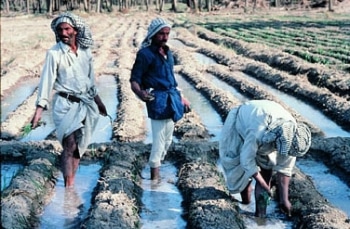
- Irrigated Land : 35,250 sq km
- Total Renewable Water Resources : 89.86 cu km
- Total Freshwater Withdrawal : 66 cu km/yr (7%/15%/79%)
- Per Person Freshwater Withdrawal : 2,616 cu m/yr
- Natural Hazards description : dust storms; sandstorms; floods
- Environmental Current Issues : government water control projects drained most of the inhabited marsh areas east of An Nasiriyah by drying up or diverting the feeder streams and rivers; a once sizable population of Marsh Arabs, who inhabited these areas for thousands of years, has been displaced; furthermore, the destruction of the natural habitat poses serious threats to the area's wildlife populations; inadequate supplies of potable water; development of the Tigris and Euphrates rivers system contingent upon agreements with upstream riparian Turkey; air and water pollution; soil degradation (salination) and erosion; desertification
- Total Labor Force : 8.9 million
- % of Labor Force in Agriculture : 21.6%
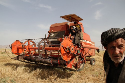
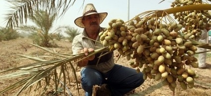
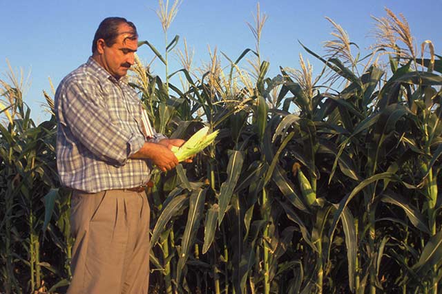
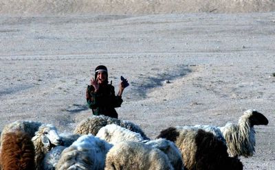
- Agricultural Products description : wheat, barley, rice, vegetables, dates, cotton; cattle, sheep, poultry
